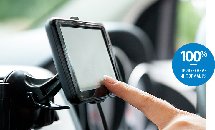
Frequently, it is possible to hear criticism from drivers that navigators do not offer optimal routes, which, moreover, do not correspond to the real traffic situation. The reason for more than 50% of such situations lies in the incorrect operation of the software part of the devices in relation to real terrain. If the device is selected correctly, then you can always rely on it and trust the proposed route. What you need to know when buying such a product in your car, especially since you can find more than 100 models on store shelves? The device is characterized by many parameters, but for optimal purchase it is enough to understand its main characteristics.
The principle of navigation
Before proceeding to the review of parameters, it is necessary to briefly formulate the principles of operation of the navigator, then the importance of its characteristics will become clearer. A conventional GPS navigator, in order to display the streets and the car on its own screen in the form of a moving triangle, uses the coordinates of the point of location and the map corresponding to the area. These two components are required for the operation of the device.
He calculates the position coordinates due to receiving signals from satellites orbiting the Earth and forming a global positioning system, abbreviated to GPS, to his antenna. Pulses are received from at least four satellites. At the same time they should be in sight. Therefore, the accuracy of the navigator is influenced not only by the calculation algorithm, antenna type and receiver sensitivity, but also by the terrain relief. This fact must be taken into account when staying on a closed area with houses and hills, since the device simply cannot receive a signal from the satellite. Even in cloudy weather, and even more so in the rain, the amplitude of the pulses attenuates noticeably.

Main selection criteria
The most significant for comfortable use of such products can be divided into two main criteria:
- Screen size;
- Navigation software.
Display
When driving, the driver has to look at the screen for a short time, so it is very important to have an image that is optimal in quality and size in order to grab the necessary information in the shortest time. But It is worth noting that the dimensions and weight of the device depend on the display; however, for installation in a car it does not play a special role, the main requirement is usability. The dimensions of the device must be considered when choosing the place to install it on the dashboard or windshield. For the car will be practical model with a screen of more than 5 inches. As a variant of the universal use of the device (in the car and when walking), models with a display of 4 - 5 inches will also be suitable.
Software
Navigation software (software) is a complete operating system. It depends on it, with which maps you have to work, the degree of their informativeness, as well as the details of display objects (hotels, gas stations, sights, traffic jams, etc.). In addition, the software is responsible for:
- Calculation of the actual speed of movement;
- Determining the time of arrival at the destination;
- Providing voice support for moving the vehicle along the route.
Different types of software have their own characteristics and in different ways represent a detailed map of the same city. On some, only streets without buildings can be drawn, on others numbers of houses can be indicated for the organization of address navigation, and still others in addition show traffic jams.
Each navigator comes with a set of maps already installed.For this reason, it is desirable to navigate in their characteristics in order to obtain all the necessary data in a convenient way. The main thing is that they contain the necessary cities and terrain. Otherwise, the device will turn into a regular toy. Almost all models allow you to purchase and install an additional set of cards.
The most common types of navigation software are:
- Autosputnik - Russian software, working with maps that have improved detail. The base of the POI is regularly updated (for shops, theaters, banks, cafes, gas stations, etc.), as well as Speedcam (radars, traffic police posts, speed bumps, railway crossings, etc.). Real address binding with contours of buildings. Supports free Yandex service.
- Navitel - also Russian navigation software, maps of which show street names, building numbers, metro station designations and many other useful information. Includes all countries of Europe, Central Asia, Transcaucasia and others. Russia is represented by a general overview map (in the latest version, an overview map of the Earth) and by Federal Districts. Very accurately traced the entire CIS. Full road network of the country with all cities and settlements. Expanded POI database and support for the Cork service. Installed on many models of navigators. A distinctive feature is the innovative technology of three-dimensional format.
- iGo8 - until recently, was one of the most popular navigation software in our country. The main feature is three-dimensional buildings with realistic texture. But, basically, it concerns the territory of Europe, and for Russia the program is not adapted. Does not support the "traffic jams" service. Maps are mainly for large cities only.
- For popular navigators in our country Garmin the software of the same name is offered with a set of maps that will be useful not only for drivers, but also for fishermen, hunters and just travelers. Detailed topographic maps of roads and all sights of Russia. Excellent address search. The advantage of the software is a good detail of the roads of many countries.

What else is useful navigator?
Since the device is an electronic device (almost a tablet computer), for which the processor and software are responsible, and the information is displayed in a user-friendly form, it can perform other tasks besides navigation. The most useful and popular functions are:
- Play video and audio files almost all the most common media formats. It is very convenient to pass the time in traffic jams. Media files are read from memory cards, but many current models already have USB connectors.
- Broadcasting sound through the built-in FM-transmitter on the installed head unit, and therefore on the car acoustics.
- Rear View Camera Connection and display the image on the screen. Very useful function for parking, if the car is not equipped with a parking assistant. The camera is not included in the package of all models, but it can be purchased separately. The main thing is to have a standard video input.
- Speakerphone connection for Bluetooth wireless connection with a mobile phone (smartphone). In this case, the navigator replaces the set of "hands-free".
When choosing a device, it is necessary to pay attention to the convenience of the user interface, namely whether the dimensions of the icons are sufficient and the optimal routing. At the same time, it is recommended that there is a choice of modes: the shortest, most optimal, taking into account traffic jams and others. If you change the route proposed by the navigator, it must quickly rebuild and suggest updated directions of movement. Be sure to need a convenient scaling and auto-rotate map function.
Sub-classes of automotive devices
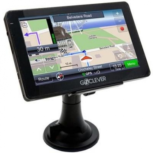
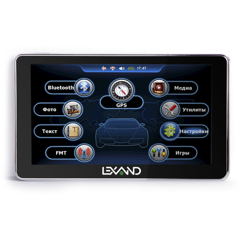
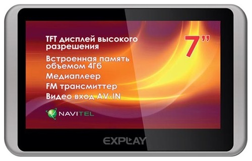
Models for cars, characterized by large displays, are classified into removable and recessed (installable) navigators. The first are made in the form of a tablet device.They are fixed on a special stand with a suction cup. They are easily removed, so at any time you can take them home or install in another car. These products are connected to a standard cigarette lighter. They have built-in batteries, so that they can work independently for some time. The following models are popular among car enthusiasts: Navitel A731,Garmin Nuvi52LM,Explay Patriot, Lexand STR-7100 HDR and etc.
Installed navigators are made in the form of a radio with GPS function. Mounted on a regular place of the center console and are produced specifically for each model of car. Power is supplied from the onboard network. To install and connect such devices must be specialists.

Conclusion
Efficiency and convenience of the navigator depends on the usefulness of the hardware-software complex. No matter how advanced the device platform is, but without software with a user-friendly interface, it will be inefficient to use. Conversely, the most updated cards when using a platform with an outdated chip will disturb users with delays and frequent signal loss.
Therefore, it is necessary to buy navigators only proven brands, depending on financial capabilities, but preferably a medium price range. Such devices use modern GPS-modules, high-speed processors and a sufficient amount of memory is provided. Included with the software will be provided with comfortable navigation.
